
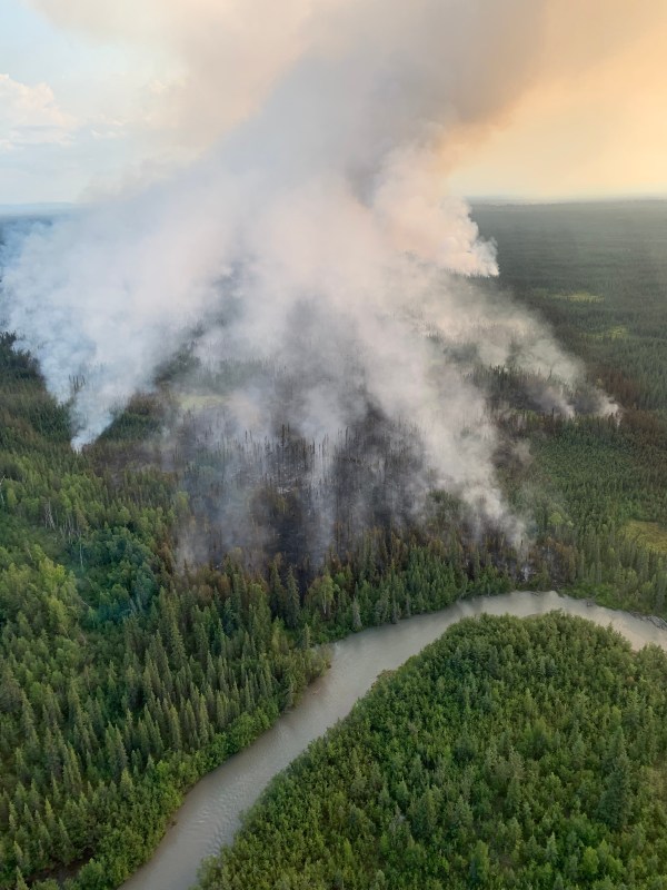
The Teklanika River Fire grew to an estimated 1,000 acres today from 700 acres last night. The fire perimeter expanded on all sides, except to the north, and grew primarily west and south towards the 2022 Clear Fire scar. Additional resources are mobilizing to manage the fire and reconnaissance flights are in progress to provide more information on fire behavior and terrain. The structure protection implemented on the cabins along the Teklanika River during last year’s Clear Fire will greatly assist firefighting efforts on this fire.
An Alaska Type 3 team will be assuming command of the fire tomorrow morning at 0800 and establishing the Anderson Incident Command Post. Due to the operational span of control and logistical complexities, the Great Basin 3 Type 2 Incident Management Team is on order and will in-brief on Saturday morning.
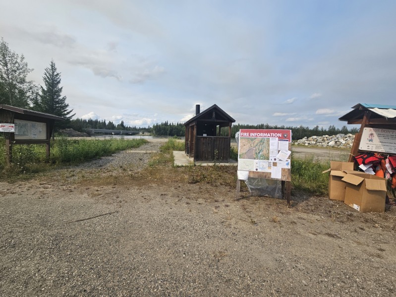
Fire Information boards have been placed locally in Nenana at the Totchaket Road boat launch and the Chevron gas station.
Categories: Active Wildland Fire
