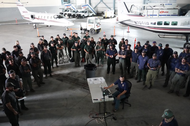
Cooler temperatures and scattered precipitation throughout the interior allowed Alaska Division of Forestry & Fire Protection to position additional resources in place and firefighters to take direct actions on fires. Existing hazard fuel mitigation treatments are being utilized by operations on the Anderson Complex and Elliott Complex. The Union, Shasta Lake and Lassen Interagency Hot Shot Crews from Oregon and California arrived in Fairbanks yesterday and will be mobilizing to fires today. Additional water scooping aircraft is also on the way to build up the aviation response capacity. Alaska is forecasted to come into a high-pressure weather pattern with sustained hot and sunny days starting this week. Fire behavior and activity is expected to increase. Additional boots on the ground will be in place for future new starts and fire growth.
HIGHLIGHTED FIRE ACTIVITY
McCoy Creek (#201) – [1,500 acres] River mile 29, Salcha River. Aerial resources made good progress on the incident with cooler temperatures. Ground resources continued hose lay and saw line along the western flank to protect and contain the fire closest to properties along the Teklanika River corridor. A GO! evacuation alert was issued July 28 by the FNSB for residents of the Lower Salcha River, approximately from river mile 3 to 40. The Middle Salcha was placed under a Set status, approximately river mile 40 to 61.

Map of the McCoy Creek Fire (#201), Mosquito Creek FIre (#290) and surrounding area including the areas under GO! evacuation notices from the Fairbanks Northstar Borough as of July 31. For a downloadable pdf of the map, click here. 
Map of the McCoy Creek Fire (#201) and surrounding area including the areas under GO!, SET, and READY evacuation notices from the Fairbanks Northstar Borough as of July 30. For a downloadable pdf of the map, click here.
Sand Lake (#250) – [150 acres] 6 miles northwest of Dot Lake. Helicopters continue suppressing the fire with bucket work to protect cabins and allotments 3 miles from the fire. A Type 3 Incident Management Team is being developed for the that will assist in getting additional resources in place.
Anderson Complex – [6,600 acres] Anderson-Clear area. Great Basin 3 Incident Management Team took command of the complex at 7:00am today. Tankers and a helicopter continued aerial suppression of the fire and hotshots continued working on structure protection in the Teklanika River corridor. One cabin was confirmed by fire managers to be destroyed by the Teklanika River Fire (#257). A GO evacuation level was issued for all residents adjacent to Rose Hip Creek near the Birch Creek Fire (#285). Cabins along the Teklanika River remain in GO status. The City of Anderson and all residents that use any road west of the George Parks Highway between Milepost 270 and the Rex Bridge remain in a SET evacuation level.

An Air Attack view of an air tanker working to slow the perimeter growth of the McCoy Creek Fire (#201) from moving toward the Salcha River and properties along its corridor on July 30. Photo/ Brittany Stillie, AK DOF 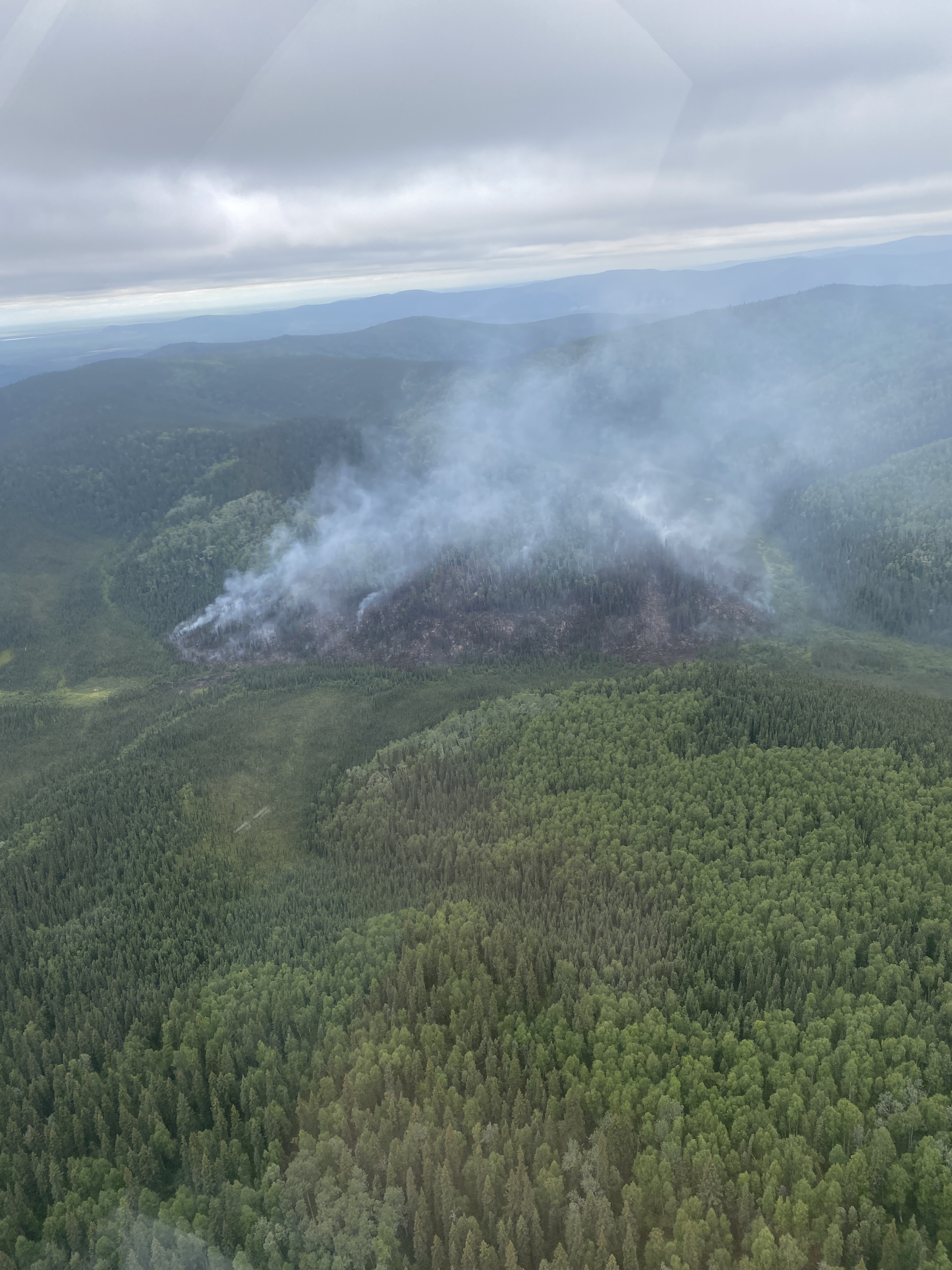
The Mosquito Creek Fire (#290) 5 miles east of Harding Lake. A nearby recreational area and additional infrastructure along the Richardson Highway were threatened. 8 smokejumpers were deployed to the fire and a helicopter completed multiple bucket drops on Saturday to prevent the fire from impacting the properties in the area on July 29. Photo/ Brittany Stillie, AK DOF 
The Our Creek Fire (#271) .5 miles north of Old Murphy Dome Road is now being managed in the Elliott Highway Complex. When the fire started on July 28 helicopters, Fire Bosses, and an air tanker made repeated drops to keep the fire acreage small. The heavy initial attack response, work being done by firefighters on the ground to wrap the perimeter with hose lay, and strategic use of Old Murphy Dome fuel break have kept the fire from growing. Photo/ Matt Nunnelly, AK DOF
Mosquito Creek (#290) – [50 acres] 5 miles east of Harding Lake. Smokejumpers continued wrapping the perimeter of the fire with saw line and hose lay. The Yukon Crew is additionally assigned to the fire and will have their first shift today to aid in containment efforts.
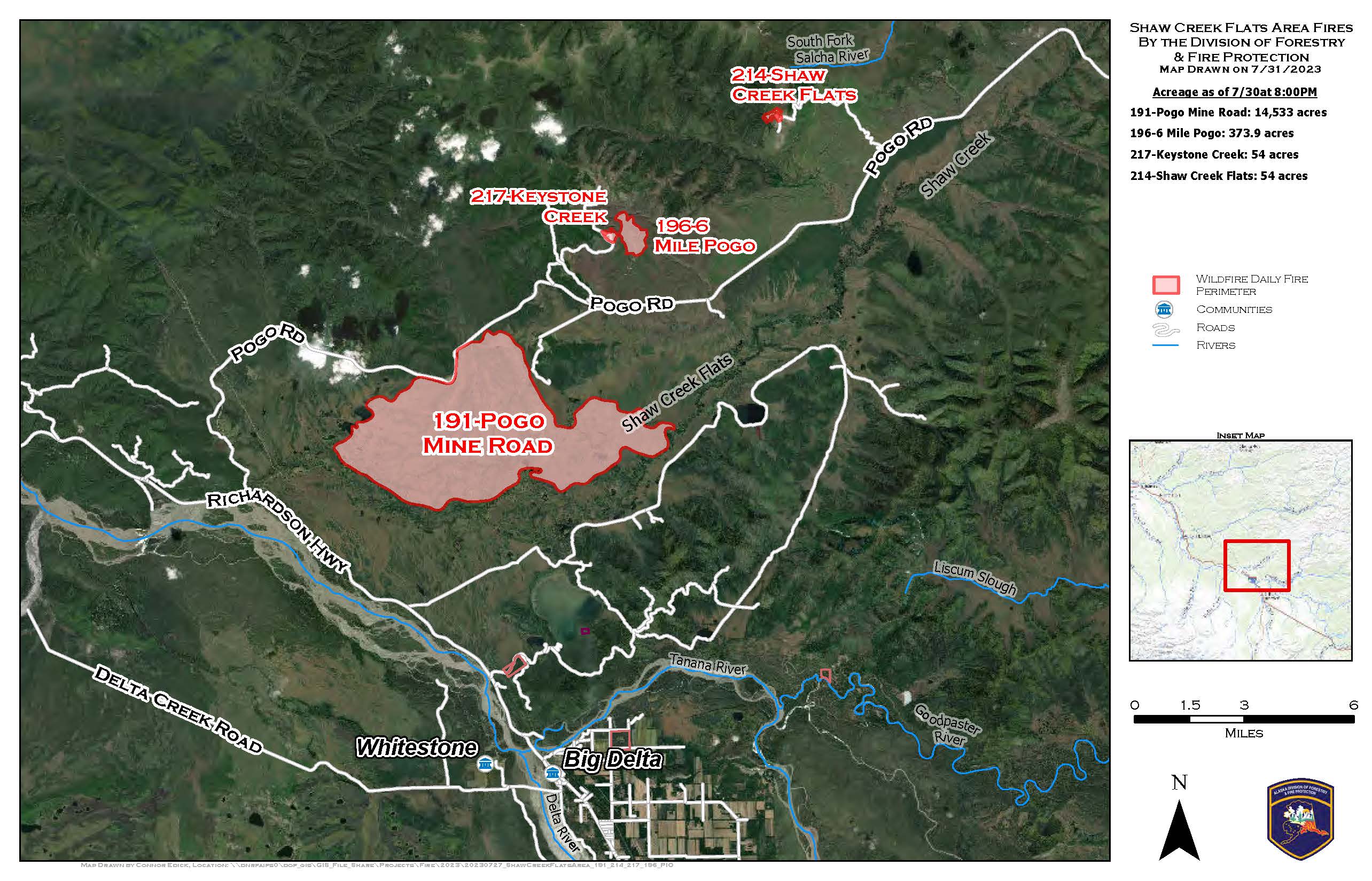
Pogo Mine Road (#191) – [15,000 acres] 9 miles down Pogo Road. Tanana Chiefs Crew and DOF personnel continued burn operations and point protection. Efforts continue to focus on protecting the road and power lines.
Elliott Complex – [55+ acres] North of Old Murphy Dome Road. The Our Creek (#271), Sargent Creek (#255), Olnes Pond (#250) and Treasure Creek (#265) fires were combined into the Elliott Complex yesterday to assist with resource sharing and coordination between the cluster of fires north of Old Murphy Dome Road in Fairbanks. DOF personnel and crews continued working and securing the fires edge with hose lay and saw line around the fires in the complex. The Old Murphy Dome fuel break proactively implemented by the Division of Forestry & Fire Protection is between the fires and the northern Fairbanks communities near Old Murphy Dome.

Categories: Active Wildland Fire
