A thunderstorm which moved through the area north of the Top of the World Highway led to some fire growth Monday night.
Smokejumpers watched the storm from a vantage point at the junction of the Top of the World and Taylor Highways. The thunderstorm winds caused the Napoleon Fire (#348) to advance to the west. Firefighters estimate that the fire grew by about 50 acres. Firefighters conducted a helicopter reconnaissance Tuesday to assess the potential need for structure protection for a cabin located about a mile and a half west of the fire.
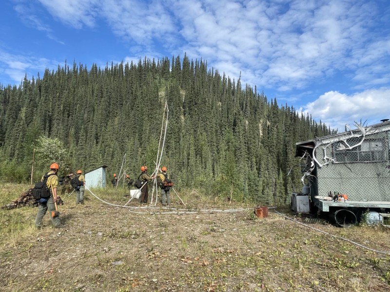
On the Wood Fire (#330), firefighters observed some individual trees catching fire Monday within the existing fire perimeter. Buckets of water dropped from a helicopter were utilized to minimize the fire activity. Calm winds and a smoky inversion were reported over the fire Tuesday morning. Firefighters continue to monitor the fire and are prepared to implement structure protection should the need arise.
The Napoleon Fire is located about 7.5 miles northeast of Chicken. The Wood Fire is about 4.5 miles northwest of the Poker Creek Port of Entry. The small Jejezhuu Fire (#346) which was reported just north of the Wood Fire was placed in monitor status on August 11.
For more information, contact Public Information Officer Al Nash at 907-356-5510.
Categories: Active Wildland Fire
