Jackie Cheek/Alaska Incident Management Team
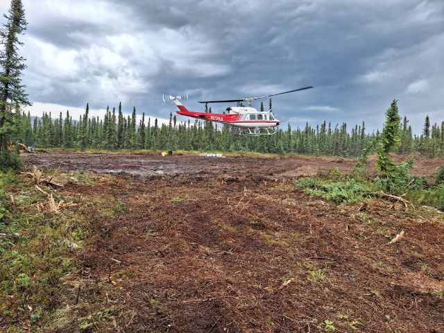
Fire activity on the Lost Horse Creek Fire (#296) remains minimal with mostly creeping and smoldering behavior. An unmanned aircraft system (UAS) with infrared sensors was flown Monday along the southwest portion of the fire. The UAS is being utilized to locate pockets of heat near the fire’s edge which will be addressed by firefighters going direct. This tactic supports the efforts of crews working to cool hotspots and prevent further fire spread. Work continues along the southern fire perimeter to strengthen and improve containment line. This work extends from the southwest corner to the 2021 Haystack Fire burn scar, reaching 50-100 feet in depth for mop-up operations.
Contingency lines to the west, south to the Elliot Highway, and southeast of the fire toward the Chatanika River are all making good progress and are expected to be completed in the next four to five days.

12% containment, and has 366 personnel.
See today’s operational briefing.
Morning fog and cooler temperatures will help moderate the fire overnight. Scattered showers and thunderstorms are possible through the week, becoming more likely near the end of the week as winds shift to the west-southwest.
EVACUATIONS: The Haystack subdivision remains at a Level 2 (SET). Residents are advised to remain vigilant and be prepared to evacuate if necessary. For more information: Fairbanks North Star Borough, AK | Official Website (fnsb.gov); Find My Neighborhood (arcgis.com)
CLOSURES: Alaska State Parks has closed the Olnes Pond campground to support fire operations. The BLM Eastern Interior Field Office issued an evacuation and closure order for the western portion of the White Mountains National Recreation Area. See: Alaska Fire Restrictions | Bureau of Land Management (blm.gov).
AIR QUALITY ADVISORY: Any community adjacent to an active fire may experience periods of degraded air quality. For smoke forecast and air quality measures, see Fire and Smoke Map (airnow.gov).
TEMPORARY FLIGHT RESTRICTIONS (TFR) are in effect until August 26, 2023. For details, see: 3/4417 NOTAM Details (faa.gov).
Public Information: (907) 921- 2555
Media Inquiries: (907) 921- 2554
Email: 2023.LostHorseCreek@firenet.gov
You Tube: https://www.youtube.com/AlaskaDNRDOF
www.akfireinfo.com
http://www.facebook.com/AK.Forestry
https://inciweb.wildfire.gov
Categories: AK Fire Info
