September 5th, 2025
Tok, Alaska- With firefighters in the Tok area completing their two-week assignments, new resources are arriving from across the state. The Mat Su Suppression Module and the Alaska Range Suppression Module have completed gridding the area south of the Alaska Highway between MP 1319 and 1321. Engines are also patrolling the area, lookouts are maintaining their posts, and a helicopter crew is on standby to respond as needed.
Fire investigators have visited all 12 of the human-caused fire locations, conducted interviews, and will be continuing their investigation.
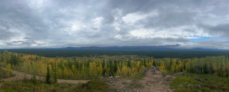
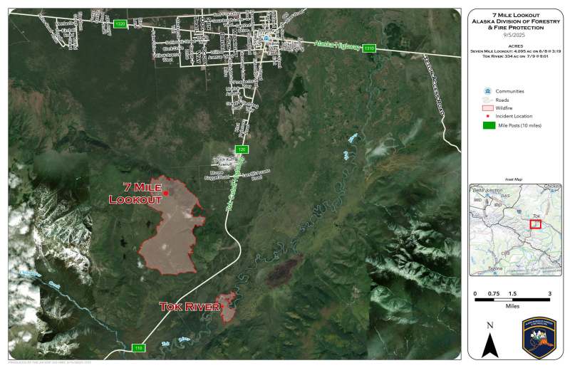
Today, the suppression modules have been reassigned to assist with the 7 Mile Lookout Fire. This fire is still putting up some smoke; this is expected and is not a danger to significant fire perimeter spread. If you see smoke that is determined to NOT be within the fire perimeter, call 911. The Eagle Trail Road and 7 Mile Lookout Road remain closed until further notice.
As of September 1st, Burn Permits are no longer required. Safe burning Statutes & Regulations remain in effect and enforceable year-round. More information may be found here: https://forestry.alaska.gov/Assets/pdfs/burn/2019/statutes & regs combined for burn webpages.pdf
If you are safely burning brush, please call your local forestry office with your address so they know to expect smoke in the area. Carefully consider weather conditions before proceeding with your burn.
If you have any information about the ongoing investigation, please contact the Division of Forestry & Fire Protection at (907) 505-0362. If you have information but would like to remain anonymous, you may submit tips through the AKTips smartphone app.
Tok Area Forestry wants to thank the community for their vigilance during this time of dry, warm, windy fire weather. We have not had any new starts for several days.
Click here for the downloadable PDF of the Sept 5th Update
Categories: AK Fire Info
