With precipitation received across the area, fire behavior on the Slathtouka Fire (#431) diminished.
The Alaska National Park Service Region Fire Suppression Module (10-person crew) arrived on the west side of the fire Tuesday to improve protection measures for allotments. In 2019, fire crews constructed line around these allotments, but vegetation growth reduced its effectiveness. The module is strengthening and improving the existing fire line over the next few days. They are removing vegetation to increase the chance of success for protecting allotments should fire spread to the area.
The Smith River Interagency Hotshot Crew is working on allotment protection along the Kanuti River. Crews working near Kanuti River and Allakaket are scouting and implementing tactics to remove vegetation, creating a fire break. The Teton helicopter and module remain available to assist with allotment protection along the Koyukuk River.
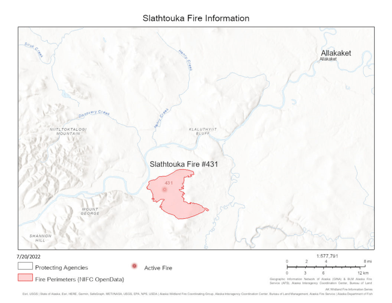
The Slathtoucka Fire is located approximately 18 miles southwest of Alatna and Allakaket on the east side of the Koyukuk River and about 6 miles below the confluence of the Koyukuk and Kanuti (Old Man River) rivers. The fire remains at 9,927 acres and 50% complete. The Slathtouka Fire is being monitored along with five additional fires near Allakaket.
Categories: AK Fire Info
