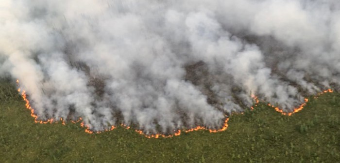
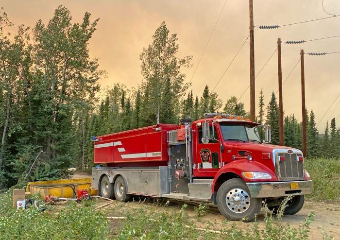
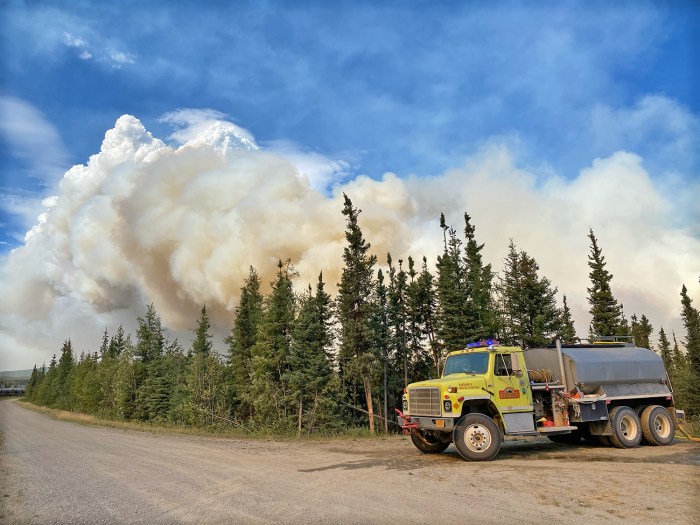
A single day increase of 35,000 acres on Sunday pushed the total year to date acreage across the 110,000-acre mark. Red Flag Warnings remain for the Central Interior, Deltana and Tanana Flats, Fairbanks and the Middle Tanana Valley, Upper Koyukuk, the Yukon Flats and surrounding uplands. Five Type 2 hand crews landed in Fairbanks Sunday and were assigned to the five priority fires in the Interior. Additional crews arrive Tuesday. Interior Alaska is experiencing hazardous air conditions. Air quality advisories are in effect for central and eastern Alaska. There are currently 151 active fires: 61 in critical or full protection and 90 in limited management zones. 114,831.5 acres have burned statewide.
HIGHLIGHTED FIRE ACTIVITY
Lost Horse Creek (#296) – [8,281 acres] North of Old Murphy Dome Road, 3.5 miles east of Mile 18 Elliot Highway. Firefighters continue to extend the control line along the southern edge and are scouting contingency lines. Structure protection was completed along Sharmon Court with progress on Middle Fork Road. Fairbanks North Star Borough issued a GO! evacuation notice for Upper Haystack area. (169 Personnel)
Anderson Complex (#899) – [18,231 acres] Anderson-Clear area. The Birch Creek and Shores Landing fires were most active with movement to the north and northwest. The Teklanika River fire had minimal growth. Resources continued to implement structure. Evacuation levels remain in place from the Denali Borough. (247 personnel)
McCoy Creek (#201) – [9,000 acres] River mile 29, Salcha River. Firefighters prioritized structure protection along the fire’s north edge. Aviation resources continue to support crews and evacuation levels remain in place from the Fairbanks North Star Borough. (130 personnel)
Pogo Mine Road (#191) – [25,000 acres] 9 miles down Pogo Road. Firefighters are engaged in structure protection around private land, power lines and the pipeline. Along the southern perimeter, the fire remains north and west of Shaw Creek. (30 personnel)
Sand Lake (#261) – [43 acres] 6 miles northwest of Dot Lake. Staffed with a Type 2 crew and module of firefighters from Southwest Alaska. Fire behavior was moderate. (61 personnel)
MAPS:
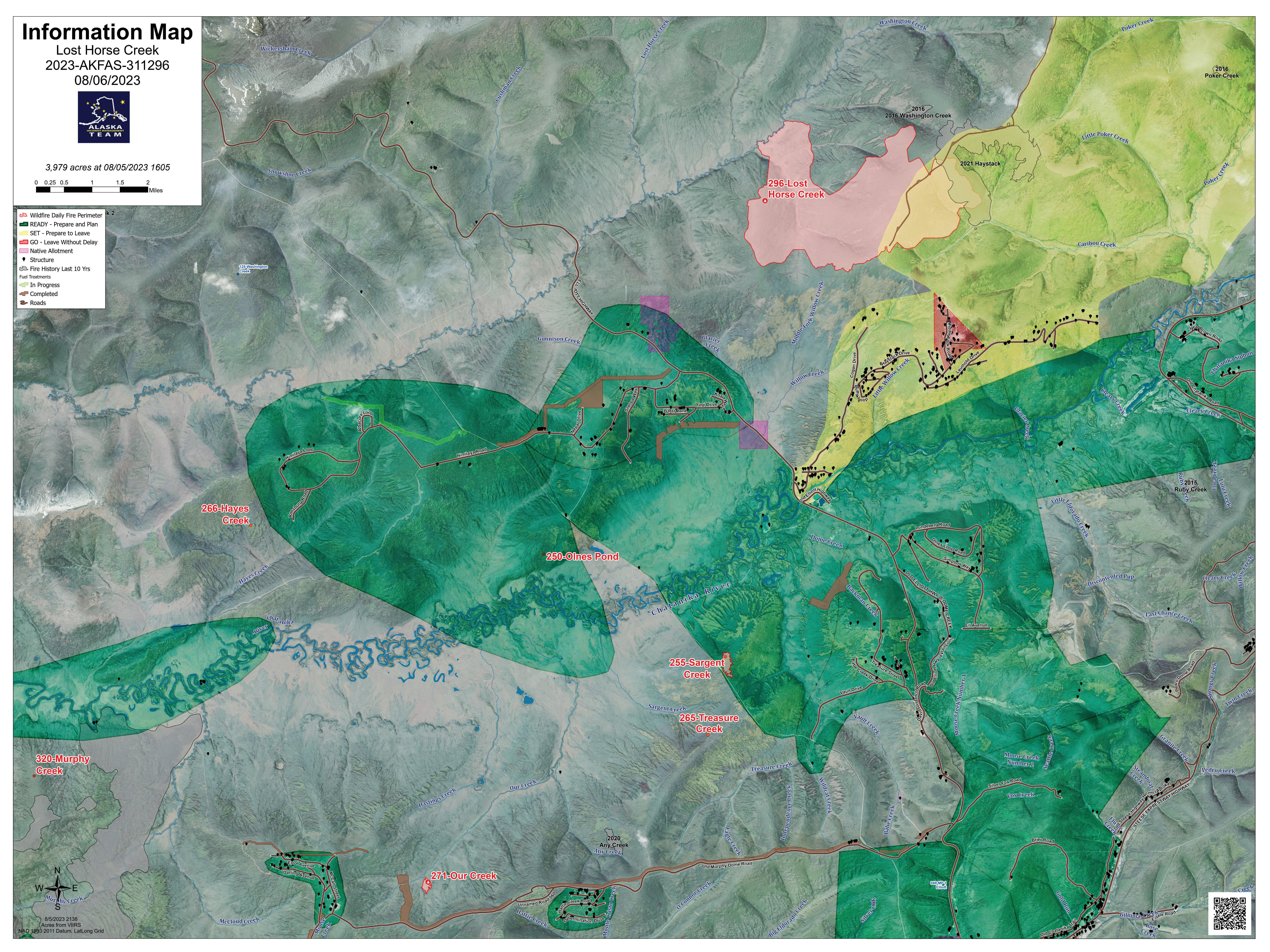
Map of the Lost Horse Creek Fire as of the evening of August 6, 2023. 
Shaw Creek Flats area fires north of Big Delta including Pogo Mine Road (#191), Keystone Creek (#217), and Shaw Creek Flats (#214), and Corda Creek (#308) as of August 6. For a downloadable map, click here. 
Area map of the Olnes Pond (#250), Sargent Creek (#255), Treasure Creek (#265), Our Creek (#271), Lost Horse Creek (#296), and Murphy Creek (#320) fires north of Fairbanks on August 6. For a downloadable map, click here. 
Map of McCoy Creek Fire (#201) and Mosquito Creek Fire (#290) as of August 6. 
Map of fire activity in the Northern Region as of August 6. 
Map of fire activity in the Alaskan Interior as of August 6. 
Map of Sand Lake Fire (#261) as of August 6.
Categories: Active Wildland Fire, Air Quality, AK Fire Info, Fire Weather, Red Flag Warning
