
There was no significant acreage growth on the fires in Interior Alaska yesterday. A high-pressure ridge continues to hold on, allowing drier and warmer weather to linger in the region. This ridge is expected to begin weakening later this week and allow wetter weather from the Bearing Sea and Arctic to move in over the fire areas. The Anderson Complex and the Lost Horse Creek Fire are beginning to work on suppression repair and transition plans. 1,020 firefighters and support personnel remain in the field and continue working to protect private properties, recreation areas, the public and infrastructure including roads, power lines, the Pogo Gold Mine, the Alaska Pipeline, and timber areas. There are currently 9 staffed fires and 290,642 acres have burned statewide.
HIGHLIGHTED FIRE ACTIVITY
Lost Horse Creek (#296) – [9,505 acres | 37% completed] North of Old Murphy Dome Road, 3.5 miles east of Mile 18 Elliot Highway. Efforts are focused on direct containment efforts on the southern and southeast portion of the perimeter. Fire spread to the north threatens few values and will be monitored. Site protection is in place for two BLM public use Cabins in the White Mountains and an area closure is in place. Evacuation levels remain in place from the Fairbanks North Star Borough. (369 Personnel)
Anderson Complex (#899) – [58,933 acres | 74% completed] Anderson-Clear area. The Shores Landing Fire continues to see active fire behavior in the afternoons. This week will bring cooler temperatures and higher relative humidity with a possibility of afternoon thunderstorms, which will continue to tamper fire behavior. Threat to values at risk remains reduced. Evacuation levels remain in place from the Denali Borough. (193 personnel)
McCoy Creek (#201) – [14,060 acres] River mile 29, Salcha River. Firefighters labeled additional cabins for structure protection, tested and ran sprinklers and continued cleaning up line with chainsaw work. The crews continued to mop up 50-100ft around the north edge near Salcha.Evacuation levels remain in place from the Fairbanks North Star Borough. (128 personnel)
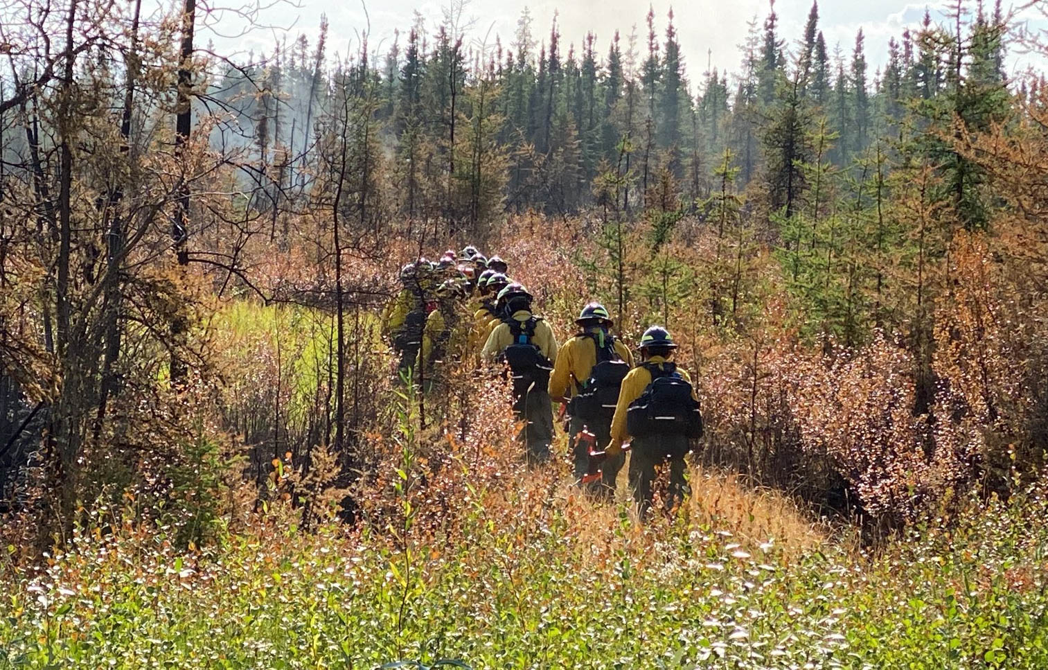
Pogo Mine Road (#191) – [47,178 acres] 9 miles down Pogo Road. Smokejumpers engaged in structure protection east and south of the fire. Crews worked on securing the southwest corner of the fire where activity increased on Monday evening. (106 personnel)
Sand Lake (#261) – [130 acres | 50% completed] 6 miles northwest of Dot Lake. Acreage increase is due to more accurate mapping. Crews continue to improve control lines on the east flank. Fire Bosses were utilized for most of the midafternoon reinforcing the eastern flank and taking out isolated pockets of heat interior. (70 personnel)
Mosquito Creek (#290) – [39 acres | 50% completed] 5 miles east of Harding Lake. No significant fire activity during this operational period. Crews continue to mop up the interior of the fire area and monitor inside and around the burned area. (43 personnel)
Mount Hayes (#299) – [7,085 acres] 24 miles southeast of Delta Junction. There was no significant fire activity yesterday. Some resources on this fire were repositioned to help with the Pogo Mine Fire. (90 personnel)

Categories: Active Wildland Fire, AK Fire Info, Alaska DNR - Division of Forestry (DOF)
