As of Tuesday, Evacuation levels for neighborhoods near the 7 Mile Lookout Fire (#222) were reduced as fire activity was moderated and firefighters made significant progress: Residents on Butch Kuth Ave, Moose Nugget, and Goshawk Rd were moved from Level 3 “GO” to Level 2 “SET”. Residents can now return home. Please be cautious and watch for emergency personnel working in the area. Residents north of Butch Kuth Ave and on Jack Wade Rd were moved from Level 2 “SET” to Level 1 “READY”. Neighborhoods near Mukluk, previously in Level 1 “READY” status, had evacuation levels lifted.

Cooler temperatures and incoming precipitation from the last two days have helped moderate fire behavior on the 7 Mile Lookout Fire (#222), located 9 miles southwest of Tok, offering some reprieve for firefighters and aiding in containment efforts. However, fire managers remain vigilant, monitoring for potential new starts and increased fire activity due to forecasted lightning. The fire is currently estimated at 1,373 acres.
Four dozers continue to expand and improve fire lines that will create a fuel break to prevent the fire from spreading north to Eagle Trail and east of 7 Mile Access Rd. White Mountain Type 2 Initial Attack Crew has installed over two miles of hose lay to address areas of heat. The crew will continue to secure dozer lines alongside assigned smokejumpers. The Clackamas Type 2 Crew out of Oregon joined suppression efforts on Tuesday. Fire personnel are patrolling at night to monitor fire activity.

Photo Credit: J Bon and Conner Reynolds with Kenai Forestry helitack 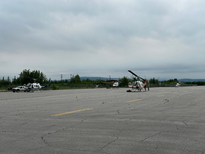
Northway Airport filled up with helicopters transiting up through Canada on their way to Fairbanks to meet up with their crews. Photo Credit: Matt Snyder 
Tractor Trail Fire from the air. Photo Credit: J Bon 
Tractor Trail Fire from the air. Photo Credit: J Bon
Tok River Fire (#289), located 10 miles south of Tok, is currently estimated at 132 acres. The Tanana Chiefs Conference Fire Crew and dozers are working towards establishing a fire line on the western flank to prevent movement towards the Glenn Highway – Tok Cutoff. A dozer road is being constructed from the Glenn Highway Tok Cutoff to the west flank. Two helitack crews are assisting suppression efforts.
Tractor Trail Fire (#334), located 4 miles south of Northway, is estimated at 88 acres. Two fire bosses, one helicopter, and 12 smokejumpers are supporting suppression efforts. Helicopter dropped 24,000 gallons of water on Tuesday. Fire bosses targeted the eastern flank, while hose lays were installed on the western flank.
Additional support including 1 field observer to help gather information and intel for firefighters, 2 resource advisors to help record disturbances to resources from fire activities, and 1 UAS drone module will be surveying fire perimeters.
Lake Mansfield Fire (#282), located 26.5 miles northwest of Tok, is estimated at 688 acres. It may be visible from the road and is currently being monitored. More support has been ordered to this incident.
Limited Protection Area Fires (Northeast of Tok)
The River Trail Fire (#276) is estimated at 19,900 acres and located 33.5 miles northeast of Tok and the Ridgeline Fire (#276) is estimated at 4,500 acres and located 48.5 miles northeast of Tok. They are not currently threatening any communities or structures. The McArthur Creek Fire (#281) is estimated at 5,400 acres and located 58 miles east of Tok. Fire personnel has been ordered to help survey structures in the area. These fires are burning in areas with limited protection east of the Taylor Highway.

For more information, please call the Tok Fire Information Line: (907) 505-0362
Categories: Active Wildland Fire, AK Fire Info, Alaska DNR - Division of Forestry (DOF)
