
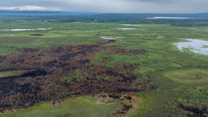
The Oskawalik Fire, located approximately 5 miles southwest of Crooked Creek, is currently holding at 1,779 acres and has reached 80% containment. A total of 41 personnel remain assigned to the fire. Recent rainfall limited the ability to carry out aggressive suppression operations, so crews shifted their focus to strengthening and maintaining the existing fire line.
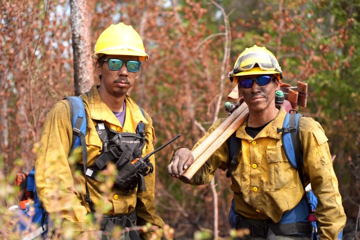
A reconnaissance flight helped assess conditions and guide planning for future suppression efforts. Firefighters will continue improving the fire line along the western flank. When safe footing allows, the crew will primarily focus on the western flank, working south, on continued mop-up operations. Southwest #1 crew will be shuttled by boat to begin advancing northward along the west side of the fire looking for any additional heat. The primary focus remains on safely increasing containment and preventing further fire spread.
Fire officials remind the public to remain aware of fire operations in the area and to avoid zones marked for active suppression efforts
Categories: Active Wildland Fire, AK Fire Info, Alaska DNR - Division of Forestry (DOF)
