Improved mapping has led to a reduction in reported acreage on both fires. The Twelvemile Lake Fire (#220) is now estimated at 18,028 acres—a reduction of 717 acres. The Sand Lake Fire is now 4,821 acres, down 58 acres from yesterday.
Firefighters continued work at Healy Lake, scouting an alternate helispot in case rising water impacts the existing one. Equipment checks continued, and all systems remain operational.
Crews responded to a report of possible smoke near Healy Creek—an area near values at risk—but after flying the area, no fire activity was found. A secondary aerial reconnaissance revealed only light heat pockets along the west side of the Twelvemile Lake Fire. Overall conditions remain stable.
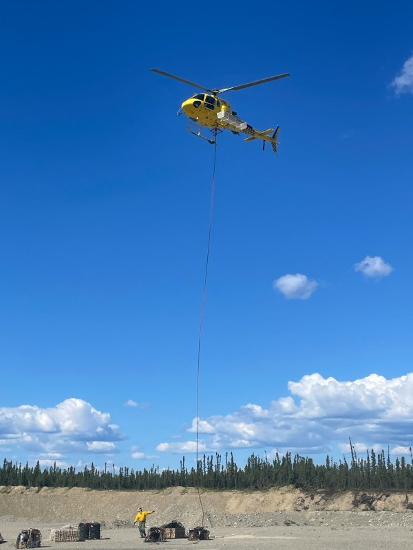
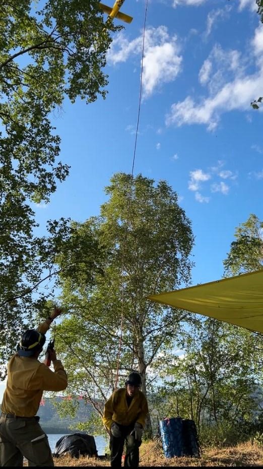
At Lake George, firefighters made final adjustments to sprinklers and pumps, confirming all systems are functioning. The Sand Lake camp is now fully staffed, with all personnel and supplies inserted today. Teams are ready to respond if fire behavior increases.
Dry and warm conditions will prevail through Friday. Isolated thunderstorms may return Saturday as high pressure begins to weaken.
- Thursday: Mostly sunny with haze, lows around 50°F, highs in the low 80s. East winds 6–8 mph; ridgetop winds SE 10–15 mph.
- Friday (Independence Day): Sunny with haze, lows in the low 50s, highs in the low 80s with light winds.
- Weekend Outlook: Saturday will be warm and partly cloudy with a chance of isolated storms. A significant cool-down begins Sunday, with temps dropping into the low 70s and humidity increasing.
Persistent east winds may limit overnight inversion formation and reduce humidity recovery through Friday. Minimum relative humidity values remain in the low 20s before improving Sunday and into next week.
Categories: Active Wildland Fire, AK Fire Info, Alaska DNR - Division of Forestry (DOF)
