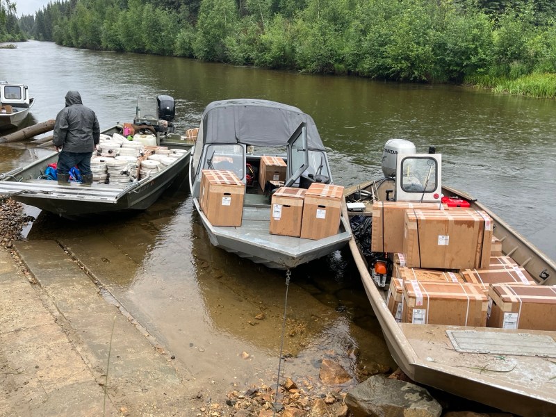
Mop up and structure protection continues on the Himalaya Road Fire (#223), Aggie Creek Fire (#268) and Obrien Fire (#172). Some supplies from the Himalaya Road Fire were consolidated to free up needed water pumps for structure protection in the Chatanika River corridor.
Numbers:
Aggie Creek Fire (#268): 38,702 acres, 0% contained
Himalaya Road Fire (#223): 6,074 acres, 0% contained
Obrien Fire (#172): 8,123 acres, 0% contained

Operations: Mop up and cold trailing will continue along the fire perimeters where accessible. A cool, wet, low visibility day Wednesday prevented supply drops on the Obrien Fire. Once visibility improves, aircraft will fly in supplies for firefighters to begin structure protection on the BLM recreation cabins. Structure protection will continue on the Aggie Creek Fire. Supplies will continue to be transported down the Chatanika River to prepare for structure protection if needed. Firefighters are monitoring for any heat along the perimeter of the Himalaya Road Fire.
Weather: A gradual warming and drying trend is expected starting today through the weekend.
Smoke: For smoke outlook updates go to https://outlooks.airfire.org/outlook/e16e3fa2.
Closures: No road closures reported. Check https://511.alaska.gov/map for road conditions. Olnes Pond, the Whitefish Campground and the western portion of the White Mountains NRA are closed due to fire activity.
Evacuations: Level 1 “READY,” and Level 2 “SET,” evacuations are in effect for these fires. SET means be ready to evacuate on a moment’s notice. Visit https://bit.ly/FNSBevac for current evacuation levels.

Safety: Drivers must use extreme caution on Elliott Highway. Do not stop, be alert and watch out for firefighters working in the area. Smoke may limit visibility. A Temporary Flight Restriction is in place. Do not fly drones over the fire area. Unauthorized drone use poses serious risks to firefighter and public safety.
Categories: Active Wildland Fire, AK Fire Info, Alaska DNR - Division of Forestry (DOF)
