The Moldy Fire (#279) remains the only active fire within the Roundabout Complex, now totaling 58,102 acres and growing further overnight. Driven by strong northwest winds, the fire pushed southeast throughout the day yesterday, with some additional backing fire to the north.
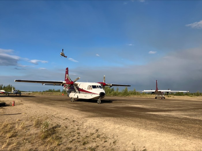
Moldy Fire (#279) – Fire managers expressed appreciation for the Galena Zone’s significant support, which was instrumental in meeting critical suppression objectives. Aircraft were used to defend key infrastructure and protect values at risk, including a communications relay site atop Roundabout Mountain and a communications tower that services the village of Huslia. Mitigation efforts included retardant drops and site preparation. The extended dry spell—now at 17 consecutive days without measurable rain—has created dynamic conditions as crews prioritize protection of allotments at risk. In addition to firefighting operations, fire managers are coordinating with local leadership in Huslia to address a failed main water pump, leaving the community without running water. Incident personnel are working to assist as the village manages this critical situation.
Caribou Fire (#128), Richards Fire (#251), Billy Hawk Fire (#182), and Billy Hawk 2 Fire (#191) – No changes reported. All four fires remain in monitor status with no new activity.
To print this update, find a PDF version here.

-BLM-
Bureau of Land Management, Alaska Fire Service
P.O. Box 35005 1541 Gaffney Road, Fort Wainwright, AK 99703
Need public domain imagery to complement news coverage of the BLM Alaska Fire Service in Alaska? Visit our Flickr channel!
Learn more at http://www.blm.gov/AlaskaFireService, and on Facebook.
The Bureau of Land Management Alaska Fire Service (AFS) located at Fort Wainwright, Alaska, provides wildland fire suppression services for over 240 million acres of Department of the Interior and Native Corporation Lands in Alaska. In addition, AFS has other statewide responsibilities that include: interpretation of fire management policy; oversight of the BLM Alaska Aviation program; fuels management projects; and operating and maintaining advanced communication and computer systems such as the Alaska Lightning Detection System. AFS also maintains a National Incident Support Cache. The Alaska Fire Service provides wildland fire suppression services for America’s “Last Frontier” on an interagency basis with the State of Alaska Department of Natural Resources, USDA Forest Service, National Park Service, Bureau of Indian Affairs, U.S. Fish and Wildlife Service, and the U.S. Military in Alaska.
Categories: Active Wildland Fire, AK Fire Info, BLM Alaska Fire Service
