
Area map of the of the 7 Mile Lookout Fire and the Tok River Fire for July 16, 2025. Click map to download PDF
Size: 3,924 acres Location: 7 miles southwest of Tok, AK
Start Date: June 19, 2025 Cause: Lightning Containment: 55% Total Personnel: 131
Evacuation levels for neighborhoods near the 7 Mile Lookout Fire (#222): Residents north of Butch Kuth Ave and on Jack Wade Road are at READY (Level 1). Residents on Osprey, Moose Nugget, and Goshawk Roads are at SET (Level 2).
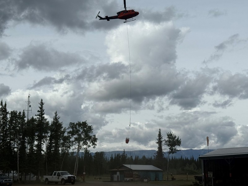
Activities: Helicopters did bucket work on the southeast side of the fire to reduce heat and smoke in the area. Crews will continue to dig line along the south side of the fire to secure the remainder of the perimeter.
Weather: Intermittent winds up to 15mph are expected today. Fire managers continue to remain vigilant due to forecasted higher temperatures and low relative humidities that may lead to increased fire activity.
Aircraft and Drone Restrictions: A temporary flight restriction (TFR) remains in place over the fire and will continue to be until further notice. The public is asked not to fly any type of aircraft, including drones, near the fire area. Unauthorized drone (UAS) flights pose serious risks to the effectiveness of wildfire suppression operations. Aerial firefighting is suspended when unauthorized UAS are in the area, allowing wildfires to grow larger.
Categories: Active Wildland Fire, AK Fire Info, Alaska DNR - Division of Forestry (DOF)
