
Area map of the of the 7 Mile Lookout Fire (#222) and the Tok River Fire for July 20, 2025. Click to download map.
Size: 3,969 acres Location: 7 miles southwest of Tok, AK
Start Date: June 19, 2025 Cause: Lightning Containment: 55% Total Personnel: 60
Evacuation levels for neighborhoods near the 7 Mile Lookout Fire (#222): Residents north of Butch Kuth Ave and on Jack Wade Road are at READY (Level 1). Residents on Osprey, Moose Nugget, and Goshawk Roads are at SET (Level 2).
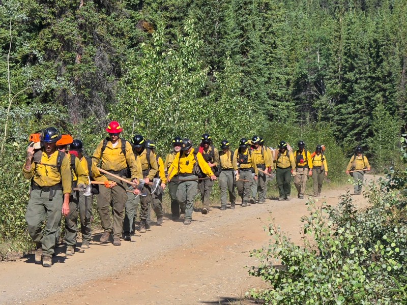
Firefighters hiking in to start their shift on the 7 Mile Lookout Fire.
Activities: Fire activity picked up yesterday on the 7 Mile Lookout Fire but crews continue to make progress digging fireline. Firefighters laid additional hose around the perimeter while aviation resources dropped buckets on hotspots. Hoselay will continue today along with additional fireline construction. Aviation resources will assist as needed.
Weather: Winds of 10-15mph are expected throughout the day with gusts of up to 25mph tomorrow. There is a possibility of scattered showers near the fire with temperatures remaining in the mid to upper 70s. Fire managers continue to remain vigilant due to forecasted higher temperatures and winds that may lead to increased fire activity.
Aircraft and Drone Restrictions: A temporary flight restriction (TFR) remains in place over the fire and will continue to be until further notice. The public is asked not to fly any type of aircraft, including drones, near the fire area. Unauthorized drone (UAS) flights pose serious risks to the effectiveness of wildfire suppression operations. Aerial firefighting is suspended when unauthorized UAS are in the area, allowing wildfires to grow larger.
Remember: If you fly, we can’t.
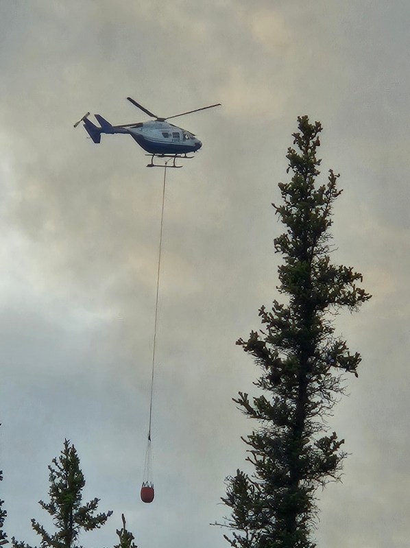
Aviation resources continue to drop buckets on hotspots on the 7 Mile Lookout Fire.
Categories: Active Wildland Fire, AK Fire Info, Alaska DNR - Division of Forestry (DOF)
