
Photo Credit: Division of Forestry
Today fire crews are planning a strategic firing operation to establish a control line to the north of the Sterling Highway and the Homer Electric Transmission line. Travelers can expect traffic delays between mileposts 58 to 75. Pilot cars will be moving traffic in the northbound lane and fire apparatus will be positioned in the southbound lane. Motorists are urged to be cautious on the highway and yield to firefighters and adhere to traffic signage. Observing the fire from a safe location should be practiced instead of stopping along the highway.
Along the southwestern edge of the fire, crews strengthened existing containment lines and secured the width of the line to 100 ft and continued with mop-up. Crews were repositioned to Watson Lake Campground to put indirect line along the East Fork Moose River, utilizing natural features to establish line to create a toehold for firefighters to continue to protect values in Sterling. These control lines continue to halt fire spread to the west toward the community of Sterling.

The fire was very active along the north-northeast perimeter where it continues to burn within the Kenai National Wildlife Refuge. An important incident objective is to improve ecological and wilderness values by allowing natural fire spread where no values are threatened. The refuge manages fire on the landscape where natural fire can benefit the forest, create future fuel breaks that protect infrastructure and improve wildlife habitat. Fire can be monitored while specific values are protected.
Fire brings ecological benefits to the refuge and provides valuable ecological succession that occurs during and after a fire by burning 80+ year old black spruce forests. The Sterling Fuel Break, where fuels have been reduced before any fire starts, protects the community of Sterling and infrastructure along the wildland-urban border. The fuel break has been a focus of refuge fire management by reducing the risk of fire for refuge neighbors and allowing fire to benefit the ecosystem.
Residents are encouraged to sign up for KPB Alerts which is a Kenai Peninsula Borough notification system that rapidly conveys information to the community. Residents can text “KPB” to 99411 to receive a link to sign up on their mobile device. More information about fire prevention can be found at Firewise.org, Alaska.gov/fire/firewise or Wildland Fire – Ready Set Go! Program.
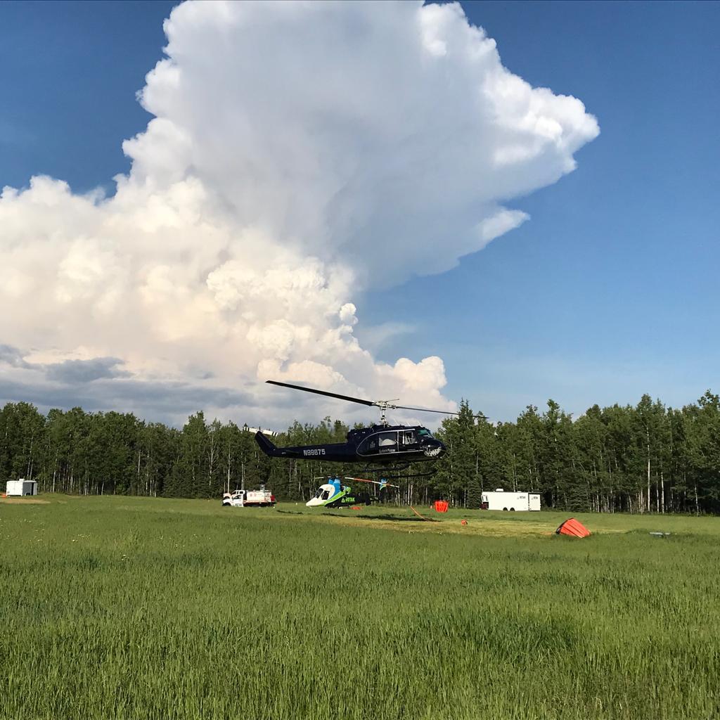
Photo Credit: Dan Patterson/Forest Service
An interactive fire map, made by the Kenai Peninsula Borough and available for residents, can be found under Current Situational Reports on the KPB emergency blog at www.kpboem.com. Those accessing the map will find the fire perimeter as well as the land ownership parcels in the Sterling area. This makes it possible to see the distance between the fire and residential areas. For Kenai emergency information, please contact the Kenai Peninsula Borough Office of Emergency Management call center at 907-262-INFO (4636) between 8am and 8pm.
WEATHER: Hot and dry conditions will continue today with winds from the southwest. An air quality advisory continues through Friday, June 28.
SAFETY: For current road conditions visit http://511.alaska.gov. The Temporary Flight Restriction (TFR) over the fire area includes the Sterling Highway corridor to support suppression efforts and firefighter safety. Pilots can confirm the current TFR restrictions at tfr.faa.gov. Be advised that personal drone operations are not permitted on the refuge.
KENAI NATIONAL WILDLIFE REFUGE INFORMATION: Portions of the Skilak Wildlife Recreation Area are closed to public use. Skilak Lake Road, along with Jim’s, Upper and Lower Skilak landings remain open.Contact the Refuge Visitor Center at 907-260-2820 or online at kenai.fws.gov.
Categories: Active Wildland Fire, AK Fire Info, BLM Alaska Fire Service
