
As new fires continue to break during the Tanana Zone’s very active fire season, smokejumpers and crews are being pulled from earlier fires and reassigned to the new blazes. On Tuesday a load of eight jumpers working on the South Base Fire (#555), which had been discovered by a helicopter working another fire, provided four members to a nearby fire which had just been seen for the first time by the same helicopter. Both the fires, in the Tanana Zone, are now out; but nine new fires have emerged in the Zone. One of the new fires is in the Tanana Zone, which has five staffed fires.
Below are descriptions of the five staffed fires within the Tanana Zone. (Grouse Creek and Twin Ponds are being managed as one fire.):
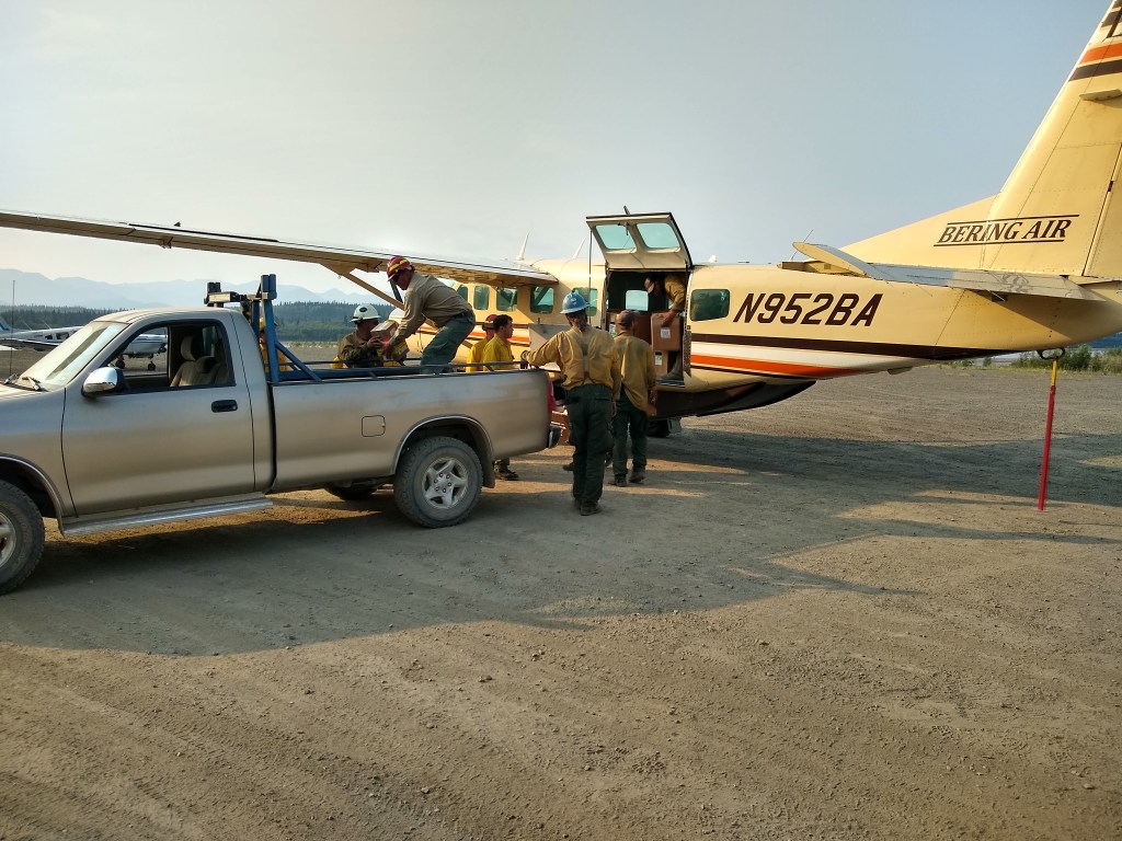
South Base (#555) – 18 acres, 8 firefighters
The South Base Fire, which has been burning about 4 miles southeast of Bettles was declared out at 10:30 a.m. today. The smokejumpers assigned to the fire will return to their base today.
Lloyd Mountain Fire (#361) – 32,744 acres, 22 firefighters (all firefighters will demobilize today)
The El Dorado Hotshots will be leaving the Lloyd Mountain Fire this afternoon to fly 30 miles northeast to Manley Hot Springs. They’ll be staged at Manley Hot Springs to await further assignment. The Lloyd Mountain Fire itself has maintained the same perimeter since the heavy rain of July 12th, fire activity has been limited to isolated visible smokes, and the fire remains about a mile distant from the nearest cabin. After today the fire will be in “monitor” status unless conditions require a status change.
Grouse Creek (#485) and Twin Ponds (#486) – 8,500 acres, 95 firefighters
The Grouse Creek and Twin Pond fires are burning about 6 miles northeast of Rampart. A smoke inversion has moderated recent fire behavior. The fire is backing to the south in Grouse Creek. Crews continue to assess and protect structures. A real-time infrared detection flight is planned to provide a good assessment and mapping of the fire. This flight should take place in the next few shifts.
Bergman Creek Fire (#312) – 47,000 acres, 62 firefighters (8 Jumpers will demobilize today)
Fire behavior increased Tuesday on portions of the Bergman Creek Fire, with 20% of the north and east flanks exhibiting visible fire activity including isolated torching of standing trees. Eight smokejumpers will be leaving the fire today, and Willie Knudson of the Lewis and Clark Hotshots will assume command. The fire, located 28 miles southwest of Allakaket, had threatened cabins and allotments, but has made no serious runs recently. Cabins and allotments continue to be protected by the Lewis and Clark and Ohio Type 2IA crews.
Foraker Fire (#389) – 46,294 acres, 3 firefighters
The Foraker Fire is burning in Denali National Park, 18 miles west of Kantishna. A Type 4 incident commander took command of the fire Tuesday. The new incident commander will fly an aerial recon to assess the fire situation and get a look at the Slippery Creek Cabin. This is the first opportunity for fire personnel to return to Slippery Creek since they started prepositioned pumps and sprinklers to protect the cabin several days ago. Minimal fire behavior observed Tuesday due to overcast conditions.
Multiple sources of information on smoke are located on the Alaska Interagency Coordination Center Air Quality web page.
For more information, contact the Alaska Interagency Fire Information Office at (907) 356-5511 or email 2019.AFS.FIRES@gmail.com.
Categories: AK Fire Info
