A Fire Weather Watch was issued for the Interior as it continues to warm with gusty, southerly winds forecasted for the weekend. The National Interagency Coordination Center is sending additional crews to support Alaskan firefighting efforts. The Alaska Type 2 Incident Management Team will assume command of the Lost Horse Creek Fire today at 8:00am. There are currently 144 active fires: 57 in critical or full protection and 89 in limited management zones. 61,590 acres have burned statewide.

HIGHLIGHTED FIRE ACTIVITY
Lost Horse Creek (#296) – [1,900 acres] North of Old Murphy Dome Road, 3.5 miles east of Mile 18 Elliot Highway. Aerial resources worked the fire as ground forces moved into place. Fire managers are using existing fuel breaks and two track roads to attempt to contain the fire. Fairbanks North Star Borough issued a GO! evacuation notice for Upper Haystack area. (40 personnel)
McCoy Creek (#201) – [5,000 acres] River mile 29, Salcha River. White Mountain worked on direct containment line while Union Hotshots and smokejumpers prepped indirect lines for burn operations to keep the fire away from the Salcha River. Aviation resources continue to support crews and evacuation levels remain in place from the Fairbanks North Star Borough. (82 personnel)

Anderson Complex (#899) – [8,000+ acres] Anderson-Clear area. Hot and dry conditions will persist over the fire complex through the weekend resulting in increases in fire behavior. Resources continue to assess values at risk and implement structure protection. Evacuation levels remain in place from the Denali Borough. (211 personnel)
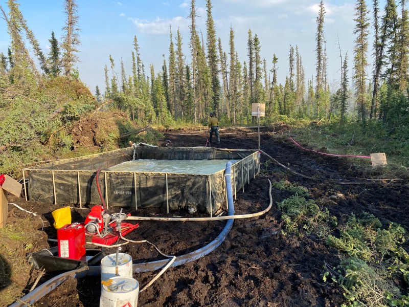
Pogo Mine Road (#191) – [15,838 acres] 9 miles down Pogo Road. Tanana Chiefs Crew and DOF personnel continue working to protect Pogo Mine Road, the Pogo Gold Mine, Quartz Lake, and timber. (25 personnel)
Sand Lake (#260) – [150 acres] 6 miles northwest of Dot Lake. Staffed with a Type 2 crew and module of firefighters from Soutwest Alaska. The crew started to establish saw line along the west flank and developed a pump site. Fire behavior was minimal with no fire growth. (20 personnel)
MAPS:

Map of fire activity in the Alaskan Interior as of August 4. To download a pdf of the map, click here. 
Area map of the Olnes Pond (#250), Sargent Creek (#255), Treasure Creek (#265), Our Creek (#271), Lost Horse Creek (#296), and Murphy Creek (#320) fires north of Fairbanks. For a downloadable pdf of the map, click here. 
Perimeter map of Lost Horse Creek Fire (#296) as of August 4. For a downloadable map, click here. 
Shaw Creek Flats area fires north of Big Delta including Pogo Mine Road (#191), Keystone Creek (#217), 6 Mile Pogo (#196), and Shaw Creek Flats (#214), and Corda Creek (#308) as of August 3. For a downloadable map, click here. Area map of the Olnes Pond (#250), Sargent Creek (#255), Treasure Creek (#265), Our Creek (#271), Lost Horse Creek (#296), and Murphy Creek (#320) fires north of Fairbanks. For a downloadable map, click here. 
Map of McCoy Creek Fire (#201) and Mosquito Creek Fire (#290) as of August 4. For a downloadable pdf of the map, click here.
Categories: Active Wildland Fire, AK Fire Info
