
With warmer temperatures and lower humidity, increased fire behavior is expected, with evidence of creeping and smoldering within the Himalaya Road Fire (#223), Aggie Creek Fire (#268) and Obrien Fire (#172).
Numbers:
Aggie Creek Fire (#268): 35,146 acres, 2% contained
Himalaya Road Fire (#223): 6,194 acres, 12% contained
Obrien Fire (#172): 8,125 acres, 0% contained
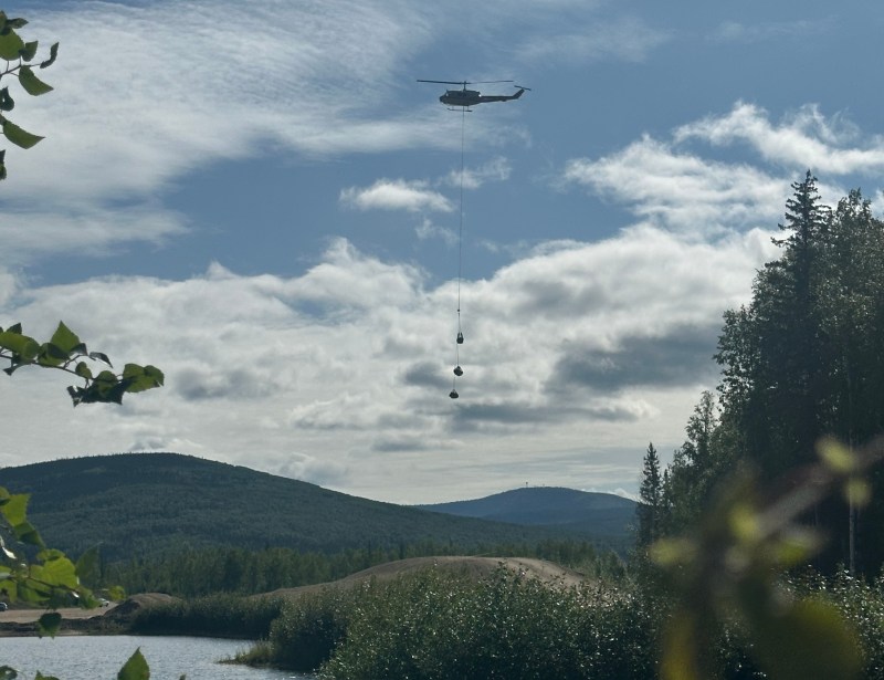
Operations: Fire managers’ highest priority is utilizing opportunities to pick up the fire direct, where possible, to remove heat from the fire’s edge. Fire managers conducted an aerial reconnaissance of the fire yesterday, with the Aggie Creek Fire showing a small smoke within the fire’s interior. On the Obrien Fire, no fire was visible from the air, however an Unmanned Aerial System with infrared capability spotted a small area of heat near the fire’s south end yesterday. The Bureau of Land Management recreational cabins in the White Mountains National Recreation Area have been plumbed with pumps and hoses and protective structure wrap was applied to the Eleazar Cabin several days ago. On the Himalaya Road Fire, work continues detecting heat in berms along fire breaks, with crews patrolling and monitoring throughout the fire area. The Chatanika River corridor will continue to be staffed as a precaution if the fire becomes active. Along the pipeline corridor, lines are holding after two consecutive days of warmer temperatures.
Weather: Weather today will be warmer and drier with temperatures in the mid-70s and lower humidity, with a slight potential for thunderstorms in the evening. Sunday looks to be a transition day, with a southwest flow and wetting rain kicking off the week on Monday. Look for a cooling trend next week.
Smoke: For smoke outlook updates go to https://outlooks.airfire.org/outlook/e16e3fa2.
Closures: No road closures reported. Check https://511.alaska.gov/map for road conditions. Olnes Pond, the Whitefish Campground and the western portion of the White Mountains NRA are closed due to fire activity.

Evacuations: Level 1 “READY,” and Level 2 “SET,” evacuations are in effect for these fires. SET means be ready to evacuate on a moment’s notice. Visit https://bit.ly/FNSBevac for current evacuation levels.
Safety: Drivers must use extreme caution on Elliott Highway. Do not stop, be alert and watch out for firefighters working in the area. Smoke may limit visibility. A Temporary Flight Restriction is in place. Do not fly drones over the fire area. Unauthorized drone use poses serious risks to firefighter and public safety.
Categories: Active Wildland Fire, AK Fire Info, Alaska DNR - Division of Forestry (DOF)
