9:00 PM – Air Attack is coordinating aerial suppression efforts on the Rapeseed Fire (#275), with two multi-engine water scoopers, two single-engine water scoopers, two air tankers carrying water, and a helicopter with bucket are actively engaged on the incident. A squad of White Mountain T2IA Crew members and a dozer are also assigned to the fire.
The fire is now estimated at 80 acres and is burning primarily in black spruce. Retardant is not being used due to the nearby salmon and grayling bearing streams.
Crews will be working into the night. There are no evacuations set at this time.
This will be the last update for the night unless significant activity occurs.
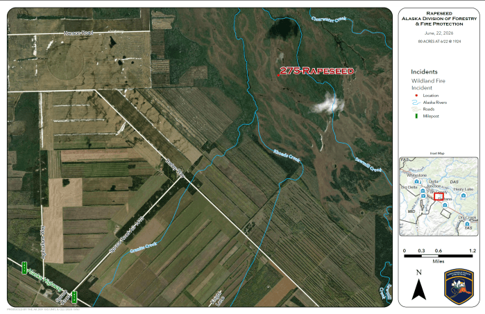
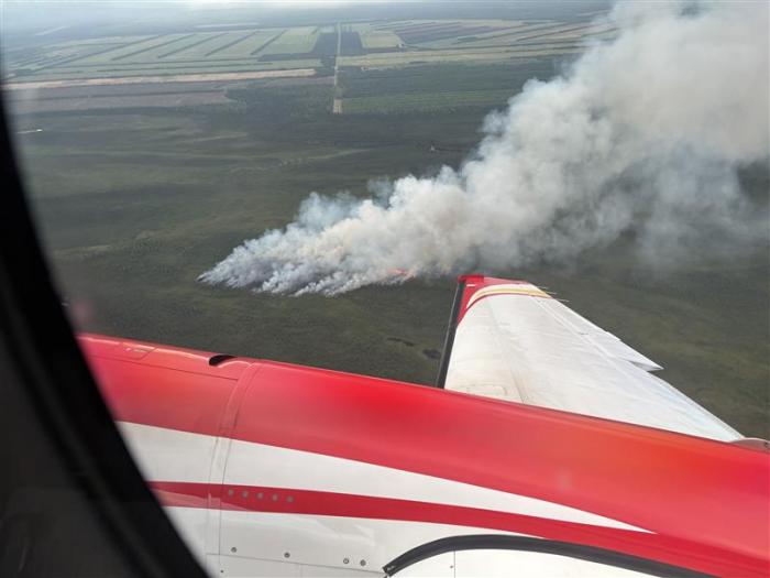
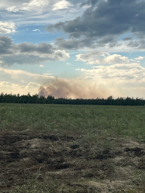
6:30 PM – The Rapeseed Fire (#275) was reported on Monday evening around 530pm. It is burning in black spruce between Clearwater and Sawmill creeks, approximately 3 miles due east of the end of Hanson Road. It is estimated at 5-10 acres. Aerial resources including water scoopers, a helicopter with bucket and a tanker carrying water are engaging the incident.
This will be updated as additional information becomes available.
Categories: Active Wildland Fire, Alaska DNR - Division of Forestry & Fire Protection (DFFP)

