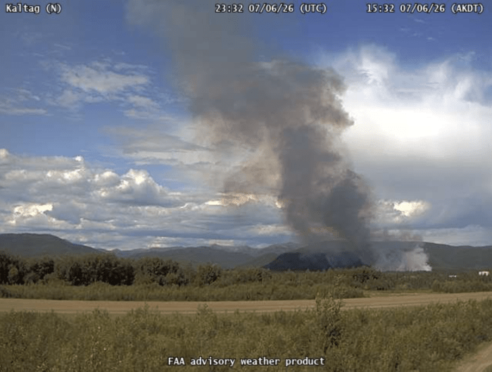
9:30 p.m. Update, July 6, 2026 (last one of the night) — Smokejumpers report making good progress around the fire’s edge by using water dropped by assisting aircraft. The fire is estimated at 45 acres and, as of 8 p.m., was smoldering and creeping with heat along the edges. A total of 13 smokejumpers and four small‑engine water scoopers are working the fire. Larger multi‑engine scoopers and a helicopter were also used to drop water to help cool the fire.
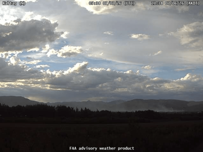
You can watch the fire from this FAA weather camera link: https://weathercams.faa.gov/map/-161.2208,63.19146,-150.67393,65.52427/cameraSite/30/details/camera/11654/full
5:20 p.m. Update — The fire is reported as 5 acres in size. Eight smokejumpers and four water scoopers continue to work on the fire.
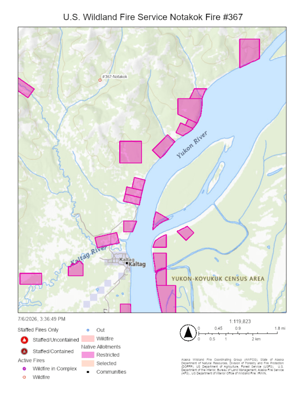
3:30 p.m., July 7, 2026 — Eight smokejumpers and several water scoopers are responding to a fire about 4 miles north of Kaltag and approximately 1.5 miles from the nearest Native allotment.
The Notakok Fire (#367) is burning in black spruce and at this time is not immediately threatening any nearby structures.
More information will be shared as it becomes available.
Note: Edited at 5 p.m. to correct number of smokejumpers working on the fire.
Categories: Active Wildland Fire, US Wildland Fire Service

