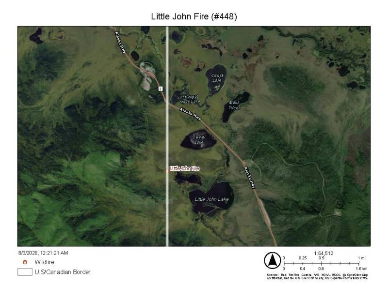
The Little John Fire (#448), which was responded to on the evening of August 1, is currently estimated at 20 to 30 acres near the U.S.–Canada border, approximately 3 miles south of the Alcan Highway. Spruce, tussock, and tundra terrain are primarily being burned, with denser, taller timber being impacted along the eastern edge near a lake.
Suppression efforts are being actively conducted through coordinated international action. Initial bucket drops were completed by DFFP before the aircraft was joined by aerial support, which joined the effort to suppress the fire on the Canadian side of the border by Canadian bucket operations. The northern flank is being secured by firefighters on the U.S side, while a helispot on the southeast end of the fire is being established by Canadian crews. Hose line is being laid along the entire southern boundary and extended north between the eastern flank and the lake.
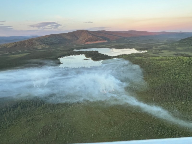
Full-day suppression operations will be resumed this morning, supported by the weather forecast. Lines will continue to be secured tomorrow before operations are transitioned into full-day mop-up and gridding through Tuesday so that no hidden heat is left behind.
There are no highway impacts or evacuations for this fire.
Categories: Active Wildland Fire, Alaska DNR - Division of Forestry & Fire Protection (DFFP)

