UPDATE 9pm: Resources continue to arrive, as the Chevak Fire Crew joined suppression efforts this evening. Rain was reported on the fire area which is helping moderate fire behavior. Officials are urging everyone to stay away from the fire area and evacuation zone. The fire is still actively burning, powerlines may be down, burned and weakened trees are falling, and ash pits still pose a hazard. Firefighters are still actively engaged in suppression efforts. A Temporary Flight Restriction (TFR) has been requested for the area. Do not fly drones in or around the fire, as it will ground all aerial resources and prevent them from protecting life and property. Currently, both highways are still open. Evacuations remain in place, and there is no update on when residents can return to their properties at this time. Fire suppression will continue overnight and into the morning. This will be the last update for the evening. We will update again tomorrow morning when additional information is available.
UPDATE 7:00pm: The current estimated acreage is now over 1500 acres, with fire spreading to the east and northeast. Multiple ground resources including engines, dozers and firefighters are implementing structure protection as helicopters with water buckets work on suppressing the fire directly. Many other ground and aerial resources are enroute.
UPDATE 5:00pm: Two evacuation shelters have been set up in Tok. The Tok Dog Mushers Association located at 1311 Alaska Highway, and the Tok School is located on Jon Summar Drive off the Tok Cutoff Highway. Pets are being accepted at both locations.
UPDATE 4:15pm: The evacuation point for the Mukluk Fire is the Tok Dog Mushers Association Hall located at 1311 Alaska Highway. 4 helicopters are actively utilizing buckets of water to suppress the fire and help support the other resources on the ground.
UPDATE 2:25PM: 9 smokejumpers, the CATG Squad of firefighters, local fire departments have responded and numerous Division of Forestry & Fire Protection engines, as well as a helicopter are currently engaged on the incident.
UPDATE 1:40: Evacuation information available at https://warn.pbs.org. Zoom the map into Alaska to view the current evacuation status.
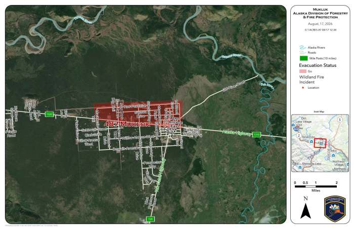
UPDATE: 1:30pm Monday August 17th:
Red Flag Warning Issued for the Upper Tanana Valley including Tok for hot, dry and windy conditions. In effect now until 7pm.
UPDATE: 1:15pm Monday August 17
Evacuations are Level 3 GO: Tok, north of MP1316.5 Alaska Hwy between Moose Horn Road and Sun Dog Trail. Fire is moving rapidly towards the Tanana River
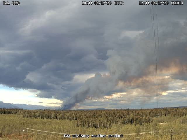
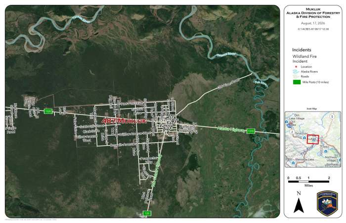
12:00 August 17 2026:
A wildfire was reported in the backyard of a residence off the Alaska Highway near Sundog Trail shortly before noon on August 17.
GO evacuations are underway north of the Alaska Highway from Sundog Trail to Midnight Sun Drive. Residents in the affected area are being evacuated to Mushers Hall.
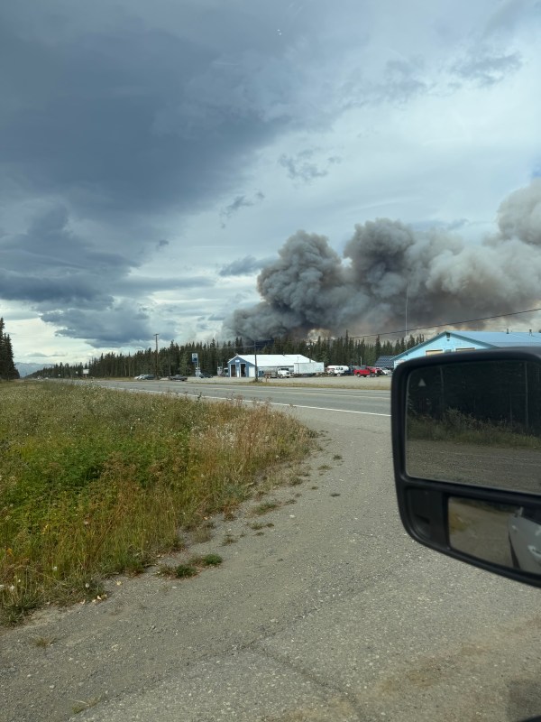
The fire is estimated at approximately 20 acres and is very active. Winds around 20 mph are driving the fire through the Sundog and Midnight Sun area. The Alaska Highway is currently serving as the southern boundary.
A downed powerline is actively arcing on the ground. Please avoid the area and do not approach any downed powerlines.
Engines are on scene and actively engaged in suppression efforts. Alaska State Troopers are also on scene. Additional Ground and aerial firefighting resources are responding from Tok and surrounding areas.
More information will be provided as it becomes available.
Categories: Active Wildland Fire

