As firefighters achieve completion of structure and allotment protection tasks, resources are being released from the Slathtouka (#431) & Mission (#566) Fires. This is the last final daily update for the two fires unless notable activity occurs.
Slathtouka #431: located approximately 18 miles southwest of Alatna and Allakaket on the east side of the Koyukuk River and about 6 miles below the confluence of the Koyukuk and Kanuti (Old Man River) rivers. Crews continue to remove hose, pumps and other equipment from the northern Koyukuk River area. With 71% completion of structure and allotment protection tasks, firefighters are shifting focus to future fire preparedness activities, including brush removal and building pioneer line, or an access trail for future fire break, around Allakaket communities. Aircraft are used to monitor the fire area and remove unneeded equipment.
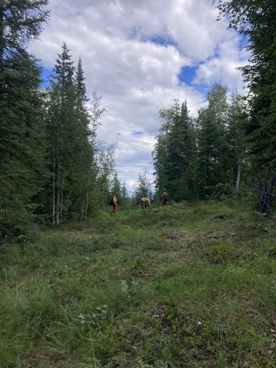
Image: Firefighters with the Teton Helitack module working on the southern area of Allakaket. This is an access trail that will create a footprint for future fire break will be up to 50 feet with 8 ft spacing between trees to create a shaded fire break

The Mission Fire (#566):located roughly 7 miles northwest of the town of Tanana. Structure and allotment protection tasks have been completed, resulting in full containment. All resources have been released from the incident.

For questions about the Slathtouka or Mission Fire, contact the Alaska Joint Information Center at 907-356-5511 or akacc@firenet.gov.
Categories: AK Fire Info
