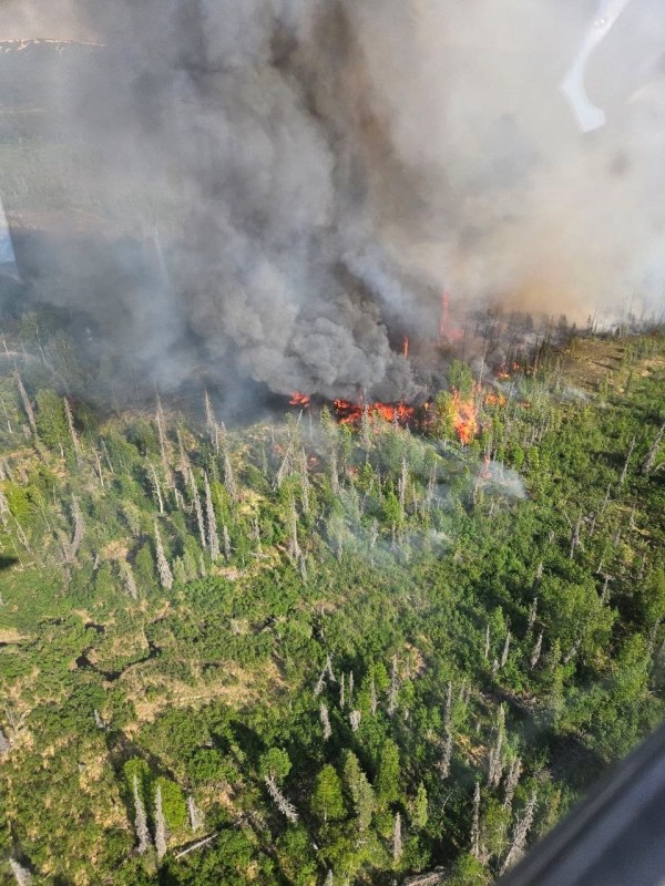
Lightning moving across the Coastal Region Friday night and has started several fires. So far today, there have been 4,340 lightning strikes across the state. Resources are responding to the confirmed fires across the Susitna Valley with aircraft spotting smokes as weather permits. Fire managers are prioritizing resources based on values at risk such as homes, roadways, and other infrastructure.
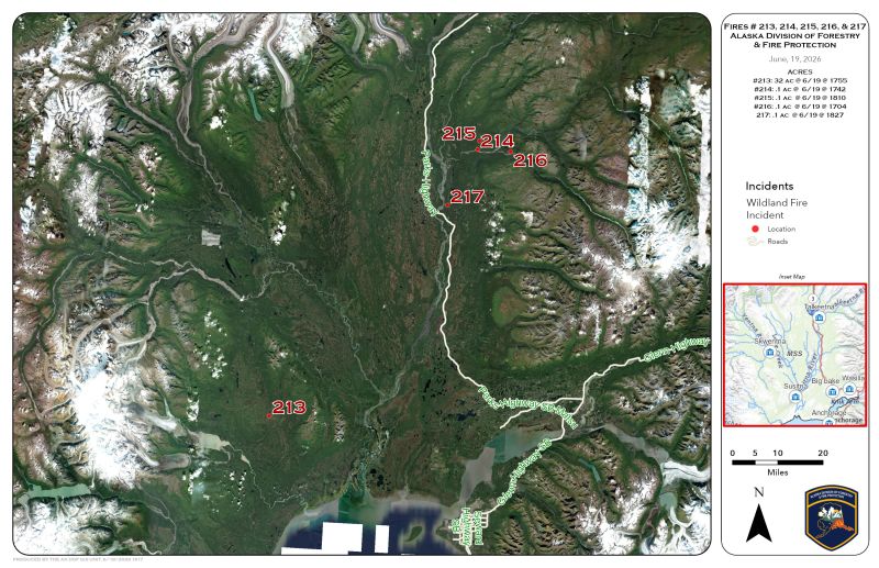
Here are the sizes and locations of current confirmed fires and resources responding:
Beluga Fire #213
- Location: 16 miles west of Mount Susitna
- Size: 35 acres
- Resources:
- 1 Air Attack
- 3 Scoopers
- 2 Tankers
- 8 Smoke jumpers
- 11:00 PM: Around 4:30PM on Friday, a pilot reported a wildfire approximately 20 miles west of Susitna. Initial response found a 10-acre fire burning in hardwoods and spruce. Multiple aviation resources, including helicopters, air tankers, water scoopers, and smokejumpers, responded to suppress the fire. By the evening, the fire had grown to 31.9 acres. Firefighters successfully boxed in the fire with retardant, stopping forward spread on most flanks, while smokejumpers made good progress securing the fire. Heavy mop-up and gridding are expected due to remaining hot spots.
Trapper Fire #214
- Location: 7.5 miles northeast of Talkeetna
- Size: 0.1 acre
- Resources:
- 1 Helicopter
Papa Bear Fire #215
- Location: 9 miles northeast of Talkeetna
- Size: 0.1 acres
- Resources:
- None
Birch Fire #216
- Location: 14 miles east of Talkeetna
- Size: 1 acre
- Resources:
- 1 Helicopter
Kahitna Fire #217
- Location: Near Talkeetna Spur Rd, 8.5 miles south of Talkeetna
- Size: 0.1 acre
- Resources:
- 3 Engines
- 2 Helicopters
- Mat-Su Crew Module
Parker Fire #218
- Location: 26 miles southwest of Talkeetna
- Size: 0.5 acres
- Resources:
- None at this time
Categories: AK Fire Info

