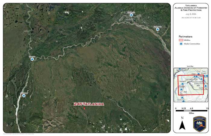
The Tatlanika Fire (#246) was originally discovered on June 20 and has shown increased activity and smoke this week. It is located approximately 25 miles east of Clear and 39 miles southwest of Fairbanks. The fire is currently estimated at 982 acres.
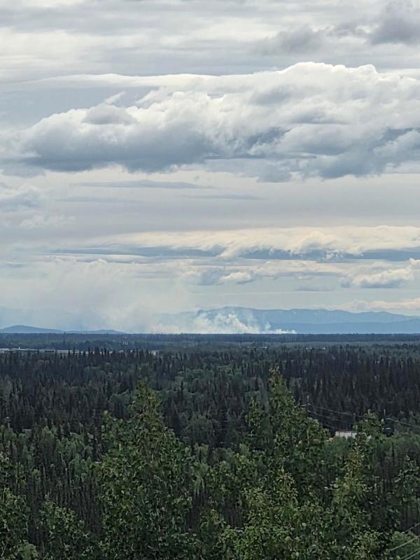
The Tatlanika Fire is in a limited response area, which means no infrastructure, structures, or allotments are currently threatened.
Fairbanks Area Forestry personnel continue to monitor the fire through reconnaissance flights to assess fire activity and perimeter growth.
Showers and thunderstorms are forecast across parts of the Interior later this week, which may help moderate fire activity, though smoke may remain visible as conditions change.
Categories: Active Wildland Fire, Alaska DNR - Division of Forestry & Fire Protection (DFFP)

